

In July 2015, exometeorologists put together the first weather forecast for a dwarf planet more than three billion miles from Earth. The outlook for Pluto? “Very low solar wind densities, lasting for about one month “¦ followed by a large merged region, which could significantly compress the atmosphere.”
Those are the words of Dusan Odstricil, a space scientist at NASA’s Goddard Space Flight Center in the United States. For the last 20 years, he’s been working on a computer model–named Enlil after the Sumerian god of the wind–that simulates the variations in the stream of electrically charged particles emitted by the Sun, known as the solar wind.
The solar wind is no small matter–on Venus, it’s been known to rip off chunks of the planet’s atmosphere. While on Earth, our planet’s magnetic field harmlessly funnels the particles to the poles, where they release their energy as aurorae, for satellites in Earth’s orbit or rovers on the surface of other worlds a solar storm means entirely shutting down to avoid lethal electrical damage.
That’s why the world’s space agencies are expending great effort on forecasting those storms in advance. In the inner part of the solar system, that means pulling data from satellites monitoring our Sun and carefully simulating how the solar wind is changing. But out beyond Jupiter there’s another influence: flows of hydrogen from outside our solar system making their way upstream against the solar wind.
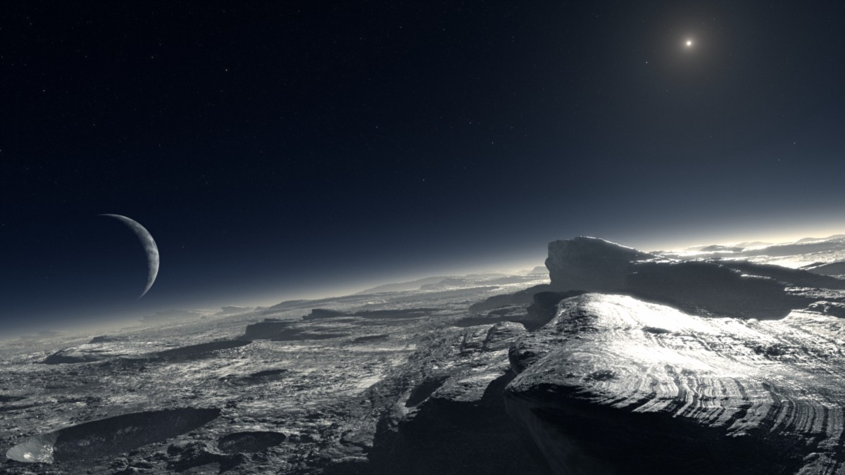
We don’t have many operational spacecraft out beyond Jupiter. There’s the Cassini-Huygens probe orbiting Saturn; the Voyager probes way out on the very edge of the solar system; and then there’s New Horizons, which whizzed past Pluto, taking our first-ever photos of the mysterious dwarf planet.
To ensure that New Horizons was able to safely complete its task, Odstricil updated and expanded Enlil so that it worked all the way out to Pluto–a task that was very tricky compared to forecasting space weather near Earth. The Sun’s spin means that the solar wind in the outer solar system forms a spiral pattern, growing thinner and longer until solar storms look more like tree rings than the balloon shapes we see near Earth.
As well as this, the six months it takes for charged particles to reach Pluto have two major effects. Firstly, it means that regions of particularly strong activity tend to slow down and merge with each other to form larger patches. Rather than the hourly changes we see near the Sun, space weather on the outskirts of the solar system takes weeks to change.
Secondly, it means that the forecast for New Horizon’s fly-by had to begin long in advance. “We set the simulation to start in January of 2015,” said Odstricil. That long lead time means that prediction errors have time to grow and overwhelm the real data. As a result, it was possible that the forecast could have beene out by as much as two to three weeks.
Since this was the first time an attempt has been made to forecast the weather so far away, expectations weren’t high. But even though it wasn’t spot-on, the exercise alone helps us better understand the evolution of the outskirts of the solar system. Given how little we know about the far reaches of our cosmic neighborhood, that can only be a good thing.

How We Get To Next was a magazine that explored the future of science, technology, and culture from 2014 to 2019. This article is part of our Above & Beyond section, which looks at our understanding of the universe beyond Earth. Click the logo to read more.