

“What we’ve known for a long time in epidemiology is that space is important,” said Jonathan Cox, a medical geographer at the London School of Hygiene & Tropical Medicine. Cox is part of a team of researchers exploring the relationship between how we use our land and the spread of disease–and he’s doing it with drones.
Cox is a member of the team involved in a five-year multidisciplinary project called Monkeybar, which seeks to analyze the risk factors for human infection from a malaria parasite called Plasmodium knowlesi in Malaysia. While the parasite was previously thought to only infect the country’s macaques, in the last 10 years reports of its incidence in humans has been mysteriously rising. A study released earlier in October concluded that the rise of P. knowlesi infections presented “a major threat to malaria control and amelioration in Malaysia.”
Cox’s hypothesis is that this has to do with space–specifically with changes in who or what is occupying it. “Land use change has historically been linked to all sorts of disease outbreak, because essentially what you’re dealing with is a change in the way that disease hosts and disease vectors interact,” Cox said.
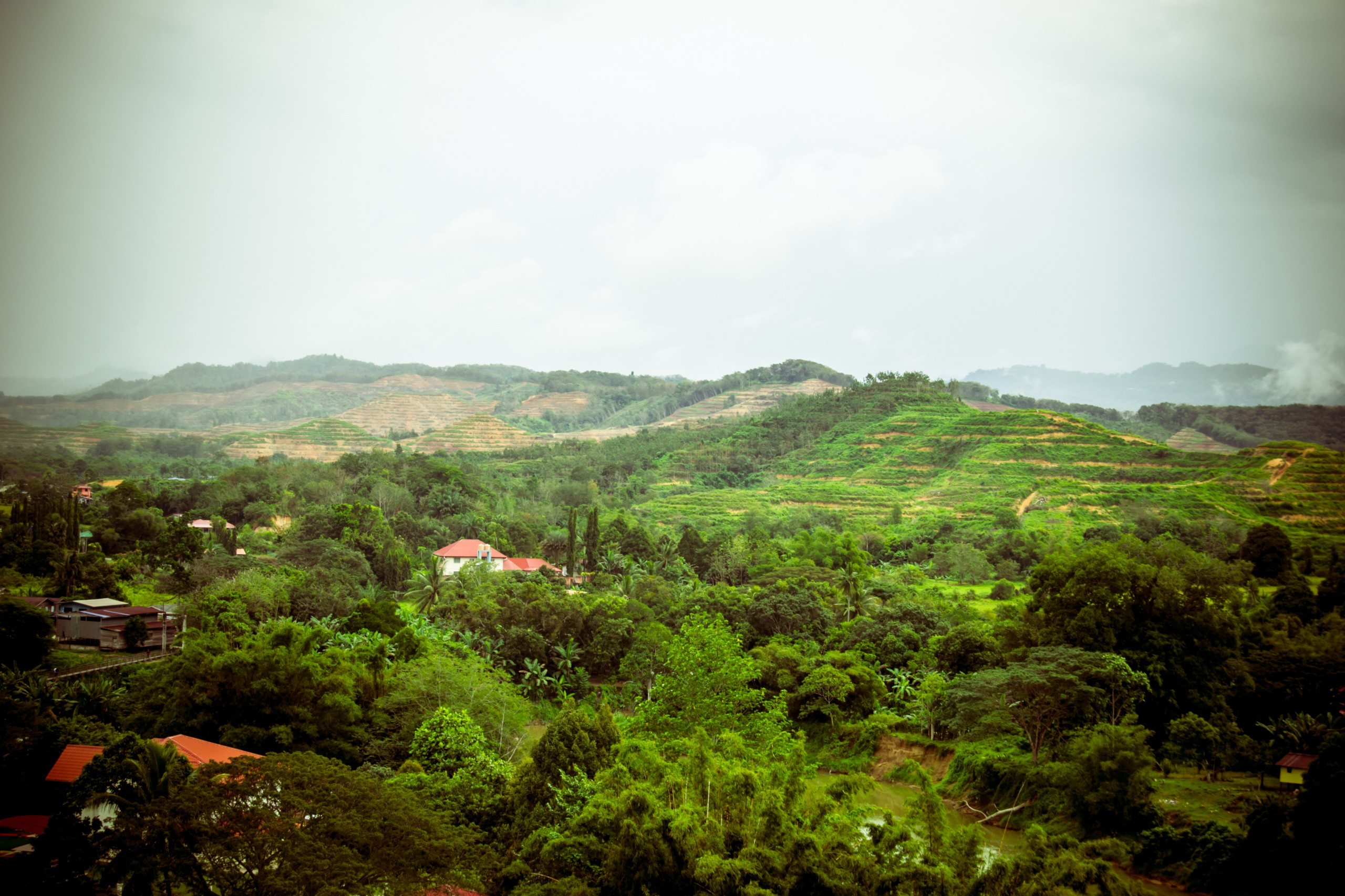
In Sabah, Malaysia, where the main part of the Monkeybar study is being conducted, heavy palm oil production has led to rapid rates of deforestation coupled with a surge in population. While previously the forest might have served as a barrier between populations, its absence presents new opportunities for monkeys, mosquitoes, and humans to interact. “This can cause the whole epidemiology of a disease to change quite rapidly,” Cox explained. As a result, P. knowles is now the leading cause for malaria in humans in the area.
Which is where the drones come in. Cox is collecting highly detailed images of land use in the area, which are then combined with hospital records of malaria cases and data from primatologists and entomologists about the distribution and numbers of monkeys and mosquitos in the area. Together, the researchers hope to better understand how P. knowlesi is actually spreading to humans. Unlike satellite data, drones allow them access to particularized images in real time, updated as frequently as they’d like at relatively low cost.
“We understand the biology of the parasite,” said Cox. “But what we really don’t know is how things work in the real world.” The data will hopefully make it clear who is susceptible and whether these infections are occurring in the forest areas themselves or back in people’s homes–a much more serious alternative in terms of the threat of the disease spreading. The findings from Sabah will also be compared to equivalent data from Palawan in the Philippines, where the same species of monkeys and mosquitoes live in forests under similar ecological conditions. Contrastingly, deforestation levels in this area of the Philippines remain quite low; perhaps as a result, there have been very few cases of humans contracting the disease, unlike in Sabah.
Drones are proving increasingly useful in ecology research, from mapping forest fires, to tracking ice floes in the Arctic, to conducting aerial surveys of wild animals, to monitoring crop growth. But part of Cox’s interest is tearing down some of the boundless zeal surrounding this technology. “There’s all this hype out there about how drones will be the answer to everything, replacing all the old ways of doing things,” Cox said. “We felt a need to set the record straight, to get the point across about what the pros and also what the cons of using this powerful technology really are,” he said. While the drones can provide detailed land images, for example, their batteries need to be swapped out five or six times a day. For a group that’s studying very large land areas, using satellite data may be preferable. “But in some projects, like ours, drones will become almost essential,” Cox said.
Cox also warned of the obvious potential for abuse of the technology. Because of its connotations–most often linked to spying and military applications–researchers will need to make sure they go through proper channels to demonstrate that what they’re doing is actually beneficial. While the Monkeybar study will take three more years before it is completed, Cox hopes it will help show some of the very real benefits of using drones in public health research.
“As much as possible, we’d like to get away from that drone idea,” says Cox. “But for us, drones are producing the exact type of data we need. There will be a point at which drones are less contentious than they are now, and it will come both from regulations and from demonstrating to the powers that be that your use is really beneficial.”

How We Get To Next was a magazine that explored the future of science, technology, and culture from 2014 to 2019. This article is part of our Vital Signs section, on the future of human health. Click the logo to read more.